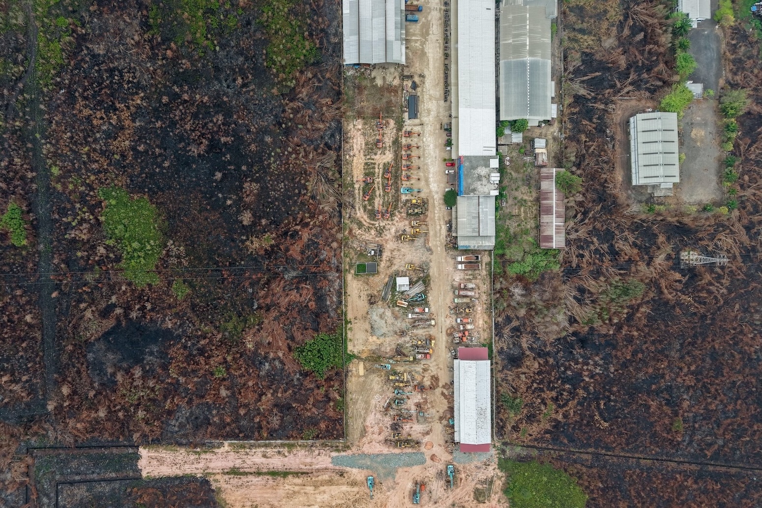
US Buildings at Risk of Wildfire Damage Could Nearly Triple by 2060
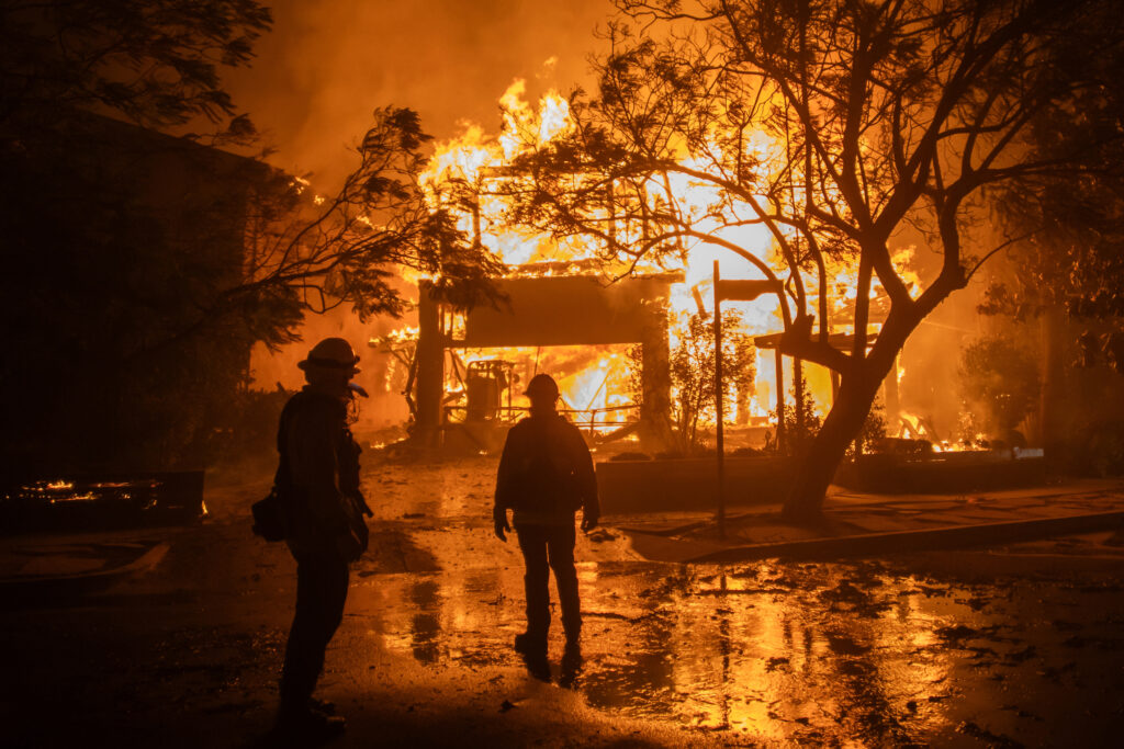
A new study warns that buildings threatened by wildfires across the lower 48 states may almost triple by 2060 if current trends continue.
A study published Tuesday in Nature Communications predicts that the number of buildings in the contiguous United States exposed to wildfire risk could almost triple by 2060 if current patterns persist.
The research team, based at the University of Colorado Boulder’s Cooperative Institute for Research in Environmental Sciences, combined multiple climate models with land‑use data to assess structural vulnerability across the lower 48 states.
On average, the models indicate that 300,000 buildings could be damaged or destroyed by the middle of the century.
Virginia Iglesias, director of Earth Lab at the university and lead author of the paper, said the findings constitute “a call to action.” She added, “Not doing anything is always an option. Here’s what happens.”
Regional fire projections
Western United States: Expected burned acreage between 2023 and 2060 could exceed 1 billion hectares (over 2.6 billion acres), reflecting the dominance of fire‑adapted ecosystems.
Central grasslands: Fire activity could rise to as much as 111 million hectares (almost 275 million acres) over the same period.
Eastern United States: The study forecasts a five‑fold increase in area burned by 2060, highlighting a growing mismatch between perceived safety and the shifting geography of risk.
The authors note that larger, faster fires driven by climate change are only part of the story, implying that land‑use decisions also influence future exposure.
These projections underscore the potential scale of property loss if climate trends and forest management practices remain unchanged.