Multi‑Sensor Satellite and Ground Networks Boost Planetary Defense Against Fireballs
Recent bolide detections over the South Atlantic, Alaska and Australia illustrate how military and civilian satellites, plus seismic and radar arrays, are reshaping Earth’s protection from space rocks.
Combining military, civil and ground‑based sensors is proving essential for planetary defense, as recent fireball events demonstrate.
April 1, 2026 South Atlantic bolide
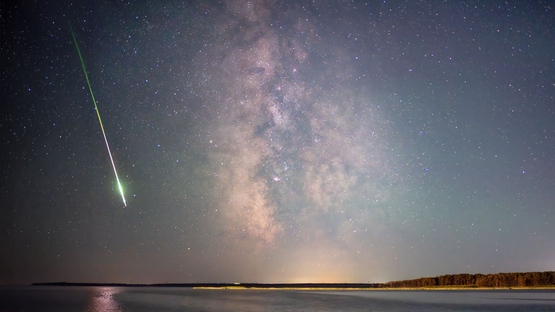
An incoming meteor exploded high above the South Atlantic off Argentina on April 1, 2026. The event was recorded by classified U.S. space‑based military sensors and by civilian assets, including NOAA’s GOES‑E and Europe’s Meteosat Third Generation (MTG) Imager‑1. Both geostationary platforms detected the fireball with their onboard lightning imagers, noting a brightness peak at roughly 60 miles (90.5 km) altitude.
April 24, 2025 Alaska fireball
A fireball over south‑central Alaska on April 24, 2025 generated one of the most densely sampled “seismo‑acoustic” datasets ever collected. Thirty‑seven seismic stations, sixteen single infrasound sensors and four infrasound arrays logged 30 ballistic and fragmentation arrivals. Doppler weather radar captured falling meteorites, and independent optical video provided visual confirmation. Because the event was absent from the U.S. Government CNEOS database, researchers reconstructed its trajectory and energy entirely from civil and scientific observations.
May 20, 2023 Queensland superbolide
A roughly 12‑foot‑wide (3.7 m) space rock entered Earth’s atmosphere over northwest Queensland on May 20, 2023, producing a series of sonic booms. U.S. government space‑based sensors recorded the event, and subsequent analysis showed catastrophic fragmentation. NASA’s Center for Near‑Earth Object Studies (CNEOS) listed it as one of the 20 most energetic events since 1988 and the most energetic over Australia, with an energy release comparable to a 7.1‑kiloton bomb.
Role of CNEOS and civil data
Elizabeth Silber, senior research physicist at Sandia National Laboratories, explained that CNEOS detections often provide the initial location, time and energy estimates for fireballs. Civilian and scientific systems then add independent measurements that refine and validate those parameters. In the Alaska case, seismic and infrasound data constrained trajectory and acoustic energy, video supplied optical data, and radar detected surviving material.
Why multiple sensors matter
Silber emphasized that each sensor type captures a different facet of a bolide’s passage: seismic and infrasound sensors record atmospheric shock waves, optical instruments track luminous flight, and Doppler radar detects material during dark flight. By merging these data streams, analysts move beyond confirming an event to mapping its atmospheric path, fragmentation points, energy release and potential ground impact.
Open discussion and future outlook
NASA planetary‑defense specialist Rob Landis noted that having two civilian geosynchronous spacecraft—GOES‑E and MTG—allows open scientific discussion of bolide detections. He warned that distinguishing natural meteors from human‑made debris is crucial to avoid misinterpretation of events as hostile actions.
Integrating diverse, independent observations turns fleeting fireball flashes into actionable knowledge for safeguarding our planet.