Severe Weather Front Sweeps Across Australia's East and South‑East
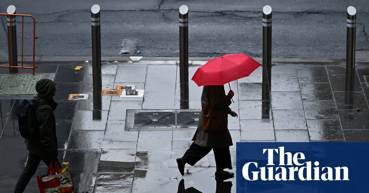
Storm warnings now cover Melbourne, Canberra, Sydney and Brisbane as a cold front brings hail, damaging winds and flash‑flood risk.
What the alerts say
Storm warnings are now active for Melbourne, Canberra, Sydney and Brisbane as a severe weather front moves across the east and south‑east of Australia. The Bureau of Meteorology (BoM) predicts hail, damaging winds and possible flash flooding in Victoria, New South Wales and parts of Queensland through Sunday.
How the front is developing
Heavy rain, winds and thunderstorms are forecast to hit Melbourne and eastern Victoria on Saturday afternoon when a cold front meets warm, humid air. The system is expected to travel eastward, affecting Canberra and inland NSW before reaching the east coast on Sunday, extending as far as southern Queensland.
Specific risks in each region
In Melbourne and parts of Victoria, moderate rain and lightning were recorded on Saturday morning, with a more intense band of thunderstorms expected later in the day. BoM meteorologist Angus Hines warned that this follow‑up band could “pack a punch,” bringing damaging winds that may exceed 125 km/h, large hail and flash‑flood potential, especially in areas that have already seen heightened rainfall.
NSW and ACT outlook
Weatherzone notes that intense thunderstorms are lining up across inland New South Wales, stretching from north of Bourke to the Snowy Mountains and beyond. At 4 pm EDT on 31 Oct 2026, the severe thunderstorm area spanned more than 1,000 km into neighbouring parts of Victoria and Queensland. The main threats are damaging winds and large hail, with brief heavy rain bursts of up to about 15 mm in 15 minutes.
Impact on the ACT and southern highlands
Earlier in the afternoon, severe thunderstorms affected the Australian Capital Territory and the southern highlands of NSW, with places like Jungbilly recording 20 mm of rain in under an hour.
Victoria’s brief but intense showers
Across the southern border in Victoria, some storms delivered around 30 mm of rain in under an hour, illustrating the rapid intensity of the system.
South‑east coast concerns for Sunday
On Sunday, the focus shifts northward. Heavy rain and storms are expected around Brisbane in the afternoon and early evening. In NSW, the most likely areas for severe thunderstorms include the mid‑north coast, the northern rivers, parts of the tablelands and the Hunter region, with threats of hail, heavy rainfall, flash flooding and winds over 125 km/h.
What is confirmed
Storm warnings are in place for Melbourne, Canberra, Sydney and Brisbane.
BoM forecasts hail, damaging winds (over 125 km/h) and possible flash flooding.
Weatherzone reports a thunderstorm line over 1,000 km across NSW, Victoria and Queensland.
Rainfall rates of up to 30 mm per hour have been observed in parts of Victoria.
Severe thunderstorms are expected to affect the NSW north‑east on Sunday.
What remains unclear
The precise timing of when individual storms will reach specific coastal locations, and the exact extent of potential property damage, are not detailed in the available reports.